eAtlas Data Catalogue
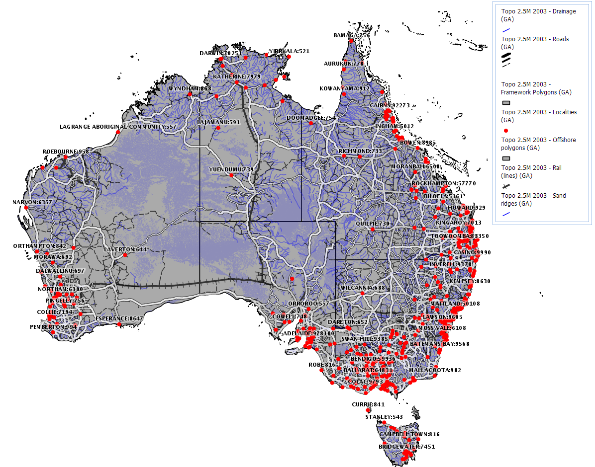
GEODATA TOPO 2.5M 2003 (GA)
The GEODATA TOPO 2.5M 2003 product is a national seamless data product aimed at regional or national applications. It is a vector representation of the Australian landscape as represented on the Geoscience Australia 1:2.5M general reference maps and is suitable for GIS applications.
It supersedes the TOPO 2.5M 1998 product by being developed according to GEODATA standards as described below. The data was derived from GEODATA TOPO 250K Series 2 data where available and GEODATA TOPO 250K Series 1 and has double precision accuracy.
The product consists of eleven data layers, including built-up areas, contours, drainage, framework, localities, offshore, rail transport, road transport, sand ridges, spot heights, and waterbodies.
Simple
Identification info
- Date (Creation)
- 2003-10-01T20:56:00
- Date (Revision)
- 2004-07-01T00:00:00
- Status
- Completed
- Point of contact
-
Role Organisation Name Telephone Delivery point City Administrative area Postal code Country Electronic mail address Principal investigator Geoscience Australia (GA) Voice Facsimile Cnr Jerrabomberra Ave and Hindmarsh DrGPO Box 378 Canberra ACT 2601 Australia sales@ga.gov.au
- Spatial representation type
- Vector
Spatial resolution
Equivalent scale
- Denominator
- 2500000
- Topic category
-
- Boundaries
Extent
Extent
))
Temporal extent
- Time period
- 2003-05-01T21:36:00
- Keywords
-
- Human Dimensions | Infrastructure | Transportation
- Language
- English
- Character encoding
- UTF8
Distribution Information
- OnLine resource
- Metadata and Download of the data
- OnLine resource
-
ea:AU_GA_Topo2M5-2003_Drainage
This layer shows the rivers and creeks.
- OnLine resource
-
ea:AU_GA_Topo2M5-2003_Waterbodies-poly
This layer contains waterbodies such as lakes and areas subject to inundation. The features are represented as unnamed polygons.
- OnLine resource
-
ea:AU_GA_Topo2M5-2003_Framework-lines
This layer shows the states and coastline of Australia as a line border.
- OnLine resource
-
ea:AU_GA_Topo2M5-2003_Localities
This layer shows the location of populated places and locations of interest such as mountains, peaks, ranges, island names, etc
- OnLine resource
-
ea:AU_GA_Topo2M5-2003_Framework-poly
This layer shows the states and coastline of Australia as a polygon.
- OnLine resource
-
ea:AU_GA_Topo2M5-2003_Contours-line
Contains generalised contours (as lines) at 0, 200, 500 and 1000 m.
- OnLine resource
-
ea:AU_GA_Topo2M5-2003_Offshore-points
This layer contains offshore features, mainly reefs (no names though).
- OnLine resource
-
ea:AU_GA_Topo2M5-2003_Waterbodies-lines
This layer contains waterbodies such as lakes and areas subject to inundation. The features are represented as unnamed lines.
- OnLine resource
-
ea:AU_GA_Topo2M5-2003_Rail-line
This layer shows rail lines.
- OnLine resource
-
ea:AU_GA_Topo2M5-2003_Contours-poly
This layer contains generalised contours (as polygons) at 0, 200, 500 and 1000 m.
- OnLine resource
-
ea:AU_GA_Topo2M5-2003_Offshore-lines
This layer shows the outlines of reefs.
- OnLine resource
-
ea:AU_GA_Topo2M5-2003_Builtup
This layer shows the built up areas of the major towns and cities. Each polygon is named.
- OnLine resource
-
ea:AU_GA_Topo2M5-2003_Roads
This layer shows the major roads.
- OnLine resource
-
ea:AU_GA_Topo2M5-2003_Rail-points
This layer shows the location of rail stations. This includes the names of the stations.
- OnLine resource
-
ea:AU_GA_Topo2M5-2003_Spot-heights
This layer shows a couple of hundred spot heights of major features such as mountains and hills.
- OnLine resource
-
ea:AU_GA_Topo2M5-2003_Offshore-poly
This layer shows the reefs as polygons. They are unnamed.
- OnLine resource
-
ea:AU_GA_Topo2M5-2003_Sand-ridges
This layer shows sand ridges as lines.
- OnLine resource
-
ea:AU_GA_Topo2M5-2003_Waterbodies-points
Location of waterbodies and areas subject to inundation. Some features are named.
- OnLine resource
- eAtlas Web Mapping Service (WMS) (AIMS)
Reference System Information
- Reference system identifier
- /EPSG:4283
Portrayal catalogue info
- Date
Metadata
- Metadata identifier
- 01c73952-3e14-4e9c-b39c-b3ff6352ffd8
- Language
- English
- Character encoding
- UTF8
- Contact
-
Role Organisation Name Telephone Delivery point City Administrative area Postal code Country Electronic mail address Distributor Australian Institute of Marine Science Eric Lawrey Voice Facsimile Townsville Queensland 4810 Australia e.lawrey@aims.gov.au
Type of resource
- Resource scope
- Dataset
- Metadata linkage
-
https://eatlas.org.au/data/uuid/01c73952-3e14-4e9c-b39c-b3ff6352ffd8
Point of truth URL of this metadata record
- Date info (Creation)
- 2018-08-20T01:51:01
- Date info (Revision)
- 2018-08-20T01:51:01
Metadata standard
- Title
- ISO 19115-3:2018