eAtlas Data Catalogue
Wet Tropics of Queensland World Heritage Area Zoning Scheme 1998 (WTMA)
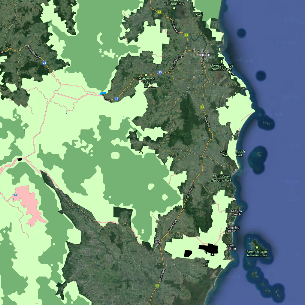
This dataset contains polygon features that represent the zoning classification of lands within the Wet Tropics World Heritage Area. This dataset is a working depiction only.
For legal confirmation, refer to signed maps held at WTMA. The official zoning maps for the Wet Tropics of Queensland World Heritage Area can be downloaded from http://www.wettropics.gov.au/zoning-maps
The zoning maps are an essential element of the Wet Tropics Management Plan 1998. The zoning maps depict four zones (A, B, C and D), based on distance from disturbance model and catering for community services infrastructure and developed visitor facilities. The zones have different degrees of integrity, different physical and social settings and different management purposes. The zoning scheme allows different types of activities in each zone, in accordance with the management intent and integrity of the zone.
- Zone A: Land included in zone A has a high degree of integrity and is remote from the disturbances associated with modern technological society.
- Zone B: High degree of ecological integrity and it is in a natural state but is not necessarily remote from disturbance.
- Zone C: Land in zone C already contains disturbances, which are often associated with existing community infrastructure.
- Zone D: Zone D contains lands where there are, or may be, visitor facilities of a well-developed type.
For information about zoning see http://www.wettropics.gov.au/wha-zoning
The Wet Tropics Management Plan 1998, including the zoning is currently under review http://www.wettropics.gov.au/wet-tropics-plan-review
This metadata was prepared for the eAtlas and is not authoritative. Please contact the Wet Tropics Management Authority for an authoritative record.
Simple
Identification info
- Date (Publication)
- 2013-12-01T10:43:00
- Cited responsible party
-
Role Organisation Name Telephone Delivery point City Administrative area Postal code Country Electronic mail address Principal investigator Wet Tropics Management Authority
- Presentation form
- Digital map
- Status
- Completed
- Point of contact
-
Role Organisation Name Telephone Delivery point City Administrative area Postal code Country Electronic mail address Point of contact Wet Tropics Management Authority Voice Facsimile Ground floor, Cairns Port Authority, Cnr Grafton and Hartley StreetPO Box 2050 CAIRNS Queensland 4870 Australia wtma.records@epa.qld.gov.au
- Topic category
-
- Biota
Extent
Extent
))
Resource constraints
- Use limitation
- Wet Tropics Management Authority
- Use constraints
- Copyright
Resource constraints
- Use limitation
- This dataset was made available to the eAtlas from WTMA under a restrictive non-commercial license. This license has restrictions to: a) not make the data available to a third party by sale or otherwise; and b) not sell products derived from the data; and c) not use the data to cause substantial distortion to normal competitive arrangements; and d) not use the data to derive income or gain a financial return. The full license is stored with the datasets. Base data/Data reproduced with permission of Wet Tropics Management Authority.
- Use constraints
- License
- Language
- English
- Character encoding
- UTF8
- Supplemental Information
- *Positional accuracy* Horizontal accuracy is at 90% of well-defined detail within +/- 50m of true position. *Attribute accuracy* Digital processing may have introduced minor sliver errors. Attribute accuracy is estimated at 99%. For legal confirmation, refer to signed maps held at WTMA. *Citation* Wet Tropics Management Authority (2013). Zoning Scheme of the Wet Tropics Bioregion of Queensland (1998). Wet Tropics Management Authority, Cairns. Data reproduced with permission of Wet Tropics Management Authority
Distribution Information
- OnLine resource
- wtma:WT_WTMA_WTWHA_zoning_09
- OnLine resource
- Interactive map of this dataset
- OnLine resource
- More information about the zoning system (WTMA)
- OnLine resource
- WTWHA Zoning 2003 [Google Earth KMZ, 1.1MB]. This is an unofficial KMZ created by eAtlas team for research only.
- OnLine resource
- eAtlas Web Mapping Service (WMS) (AIMS)
Resource lineage
- Hierarchy level
- Dataset
Reference System Information
Identifier
- Codespace
- EPSG
Metadata
- Metadata identifier
- 1f1a8cf7-027c-434b-917c-87a961ea9239
- Language
- English
- Character encoding
- UTF8
- Contact
-
Role Organisation Name Telephone Delivery point City Administrative area Postal code Country Electronic mail address Point of contact Australian Institute of Marine Science (AIMS) Lawrey, Eric, Dr. Voice Facsimile PRIVATE MAIL BAG 3, TOWNSVILLE MAIL CENTRE Townsville Queensland 4810 Australia e-atlas@aims.gov.au
Type of resource
- Resource scope
- Dataset
- Metadata linkage
-
https://eatlas.org.au/data/uuid/1f1a8cf7-027c-434b-917c-87a961ea9239
Point of truth URL of this metadata record
- Date info (Creation)
- 2014-09-03T00:00:08
- Date info (Revision)
- 2014-09-03T00:00:08
Metadata standard
- Title
- ISO 19115-3:2018