eAtlas Data Catalogue
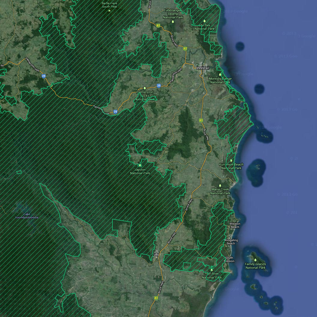
Wet Tropics of Queensland World Heritage Area - boundary (WTMA)
This dataset contains polygon features that represent the zoning classification of lands within the Wet Tropics World Heritage Area, according to the Wet Tropics Management Plan 1998.
This dataset is a working depiction only. For legal confirmation, refer to signed maps held at WTMA.
http://www.wettropics.gov.au/boundary-maps
The World Heritage Area boundary is legally defined by Wet Tropics Management Authority (WTMA) WTQ1 SH1-32 series. (Note: Along the coastline, it shall be low water mark). These maps should be referred to for any legal purposes. This dataset is designed to show the intent of these plans relevant to the current Digital Cadastral Data Base (DCDB). Most lines are derived from DCDB, and other lines derived from 1:50,000 topographical data and other sources.
*Accuracy*
Lines derived from the DCDB were within 1m of the DCDB as at 29/11/2008. Lines that are not derived from the DCDB are approximate only. They were derived from topographic mapping originally, then adjusted to the DCDB in 2002, and then further adjusted as the DCDB was updated since then.
For further information visit the Wet Tropics Management Authority
http://www.wettropics.gov.au/legislation
This metadata was prepared for the eAtlas and is not authoritative. Please contact the Wet Tropics Management Authority for an authoritative record.
Simple
Identification info
- Date (Publication)
- 2013-12-01T10:43:00
- Status
- Completed
- Point of contact
-
Role Organisation Name Telephone Delivery point City Administrative area Postal code Country Electronic mail address Point of contact Wet Tropics Management Authority Voice Facsimile Ground floor, Cairns Port Authority, Cnr Grafton and Hartley StreetPO Box 2050 CAIRNS Queensland 4870 Australia wtma.records@epa.qld.gov.au
- Topic category
-
- Biota
Extent
Extent
))
Resource constraints
- Use limitation
- Wet Tropics Management Authority
- Use constraints
- Copyright
Resource constraints
- Use limitation
- This dataset was made available to the eAtlas from WTMA under a restrictive non-commercial license. This license has restrictions to: a) not make the data available to a third party by sale or otherwise; and b) not sell products derived from the data; and c) not use the data to cause substantial distortion to normal competitive arrangements; and d) not use the data to derive income or gain a financial return. The full license is stored with the datasets. Data reproduced with permission of Wet Tropics Management Authority.
- Use constraints
- License
Resource constraints
- Use limitation
- Citation: Wet Tropics Management Authority (2013). Boundary of the Wet Tropics Bioregion of Queensland. Wet Tropics Management Authority, Cairns.
- Language
- English
- Character encoding
- UTF8
Distribution Information
- Distribution format
-
- OnLine resource
- wtma:WT_WTMA_WTWHAbdy-2009
- OnLine resource
- Interactive map of this dataset
- OnLine resource
- Wet Tropics World Heritage Area - Facts Sheet (WTMA)
- OnLine resource
- eAtlas Web Mapping Service (WMS) (AIMS)
Resource lineage
- Hierarchy level
- Dataset
Reference System Information
Identifier
- Codespace
- EPSG
Metadata
- Metadata identifier
- cf255645-3e1e-4b30-8f32-f39c1859b277
- Language
- English
- Character encoding
- UTF8
- Contact
-
Role Organisation Name Telephone Delivery point City Administrative area Postal code Country Electronic mail address Point of contact Australian Institute of Marine Science (AIMS) Lawrey, Eric, Dr. Voice Facsimile PRIVATE MAIL BAG 3, TOWNSVILLE MAIL CENTRE Townsville Queensland 4810 Australia e-atlas@aims.gov.au
Type of resource
- Resource scope
- Dataset
- Metadata linkage
-
https://eatlas.org.au/data/uuid/cf255645-3e1e-4b30-8f32-f39c1859b277
Point of truth URL of this metadata record
- Date info (Creation)
- 2018-08-21T06:36:21
- Date info (Revision)
- 2018-08-21T06:36:21
Metadata standard
- Title
- ISO 19115-3:2018