eAtlas Data Catalogue
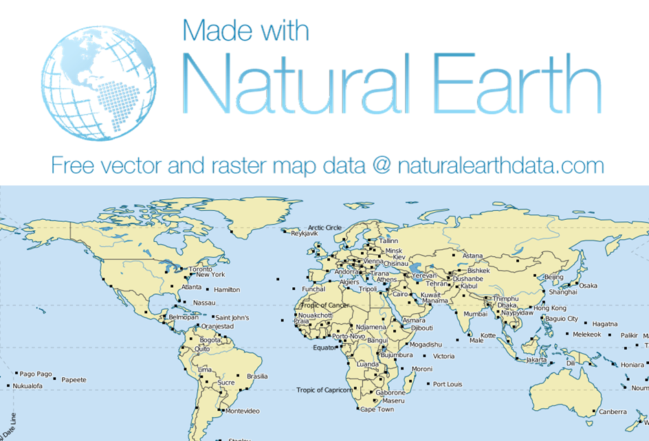
Natural Earth Vector (NE)
Natural Earth is a public domain map dataset available at 1:10m, 1:50m, and 1:110 million scales. Featuring tightly integrated vector and raster data, with Natural Earth you can make a variety of visually pleasing, well-crafted maps with cartography or GIS software.
Natural Earth was built through a collaboration of many volunteers and is supported by NACIS (North American Cartographic Information Society).
Natural Earth Vector comes in ESRI shapefile format, the de facto standard for vector geodata. Character encoding is Windows-1252.
Natural Earth Vector includes features corresponding to the following:
Cultural Vector Data Thremes:
- Countries: matched boundary lines and polygons with names attributes for countries and sovereign states. Includes dependencies (French Polynesia), map units (U.S. Pacific Island Territories) and sub-national map subunits (Corsica versus mainland Metropolitan France).
- Disputed areas and breakaway regions - From Kashmir to the Elemi Triangle, Northern Cyprus to Western Sahara.
- First order admin (provinces, departments, states, etc.): internal boundaries and polygons for all but a few tiny island nations. Includes names attributes and some statistical groupings of the same for smaller countries.
- Populated places: point symbols with name attributes. Includes capitals, major cities and towns, plus significant smaller towns in sparsely inhabited regions. We favor regional significance over population census in determining rankings.
- Urban polygons: derived from 2002-2003 MODIS satellite data.
- Parks and protected areas: US National Park Service units.
- Pacific nation groupings: boxes for keeping these far-flung islands tidy.
- Water boundary indicators: partial selection of key 200-mile nautical limits, plus some disputed, treaty, and median lines.
Physical Vector Data Themes:
- Coastline: ocean coastline, including major islands. Coastline is matched to land and water polygons.
- Land: Land polygons including major islands
- Ocean: Ocean polygon split into contiguous pieces.
- Minor Islands: additional small ocean islands ranked to two levels of relative importance.
- Reefs: major coral reefs from WDB2.
- Physical region features: polygon and point labels of major physical features.
- Rivers and Lake Centerlines: ranked by relative importance. Includes name and line width attributes. Don’t want minor lakes? Turn on their centerlines to avoid unseemly data gaps.
- Lakes: ranked by relative importance, coordinating with river ranking. Includes name attributes.
- Glaciated areas: polygons derived from DCW, except for Antarctica derived from MOA. Includes name attributes for major polar glaciers.
- Antarctic ice shelves: derived from 2003-2004 MOA. Reflects recent ice shelf collapses.
- Bathymetry: nested polygons at 0, -200, -1,000, -2,000, -3,000, -4,000, -5,000, -6,000, -7,000, -8,000, -9,000,and -10,000 meters. Created from SRTM Plus.
- Geographic lines: Polar circles, tropical circles, equator, and International Date Line.
- Graticules: 1-, 5-, 10-, 15-, 20-, and 30-degree increments. Includes WGS84 bounding box.
Simple
Identification info
- Date (Revision)
- 2012-11-08T08:27:00
- Status
- Completed
- Point of contact
-
Role Organisation Name Telephone Delivery point City Administrative area Postal code Country Electronic mail address Point of contact Natural Earth Data Nathaniel Vaughn KELSO Voice nathaniel@naturalearthdata.com
- Spatial representation type
- Vector
Spatial resolution
Equivalent scale
- Denominator
- 10000000
- Topic category
-
- Boundaries
Extent
Extent
))
- Keywords (Theme)
-
- Oceans | Bathymetry | Seafloor Topography
- Land Surface | Topography | Contours
Resource constraints
- Linkage
-
http://i.creativecommons.org/l88x31.png
License Graphic
- Title
- Creative Commons Public Domain Mark 1.0 License
- Cited responsible party
-
Role Organisation Name Telephone Delivery point City Administrative area Postal code Country Electronic mail address
- Website
-
http://creativecommons.org/publicdomain/mark/1.0/
License Text
- Language
- English
- Character encoding
- UTF8
Distribution Information
- Distribution format
-
- OnLine resource
- Natural Earth Data
- OnLine resource
- Interactive map of some of the Natural Earth dataset.
- OnLine resource
- ea:World_NED_10m-cities
- OnLine resource
- ea-be:World_NE_10m-bathymetry-200_1k_2k_4k_5k_7k_s
- OnLine resource
- ea:World_NED_10m-countries
- OnLine resource
- eAtlas Web Mapping Service (WMS) (AIMS)
Resource lineage
- Hierarchy level
- Dataset
Reference System Information
- Reference system identifier
- EPSG/EPSG:4326
Metadata
- Metadata identifier
- e0647a27-74e3-464c-b3df-88337e9dc9ee
- Language
- English
- Character encoding
- UTF8
- Contact
-
Role Organisation Name Telephone Delivery point City Administrative area Postal code Country Electronic mail address Point of contact Australian Institute of Marine Science (AIMS) Lawrey, Eric, Dr. Voice Facsimile PRIVATE MAIL BAG 3, TOWNSVILLE MAIL CENTRE Townsville Queensland 4810 Australia e-atlas@aims.gov.au
Type of resource
- Resource scope
- Dataset
- Metadata linkage
-
https://eatlas.org.au/data/uuid/e0647a27-74e3-464c-b3df-88337e9dc9ee
Point of truth URL of this metadata record
- Date info (Creation)
- 2016-08-02T14:14:24
- Date info (Revision)
- 2016-08-02T14:14:24
Metadata standard
- Title
- ISO 19115-3:2018